FiberLocator has released a feature in the fiber location tool that allows you to view the entire range of a particular carrier’s fiber network coverage, using the “Zoom to Extent” tool. The zoom feature enables efficient research in fiber mapping with the ability to easily identify the total footprint and area of a specific carrier. This is useful in locating long-haul fiber, metro fiber and submarine cables and also demonstrates whether a carrier is local, regional, or national.

To use this feature, follow these simple steps:
- Open FiberLocator and expand the long-haul or metro fiber list in the “Layers” tab on the left-hand side of the screen.
- Select which carriers coverage you’d like to see.
- Right-click on a carrier and select “Zoom to Extent”
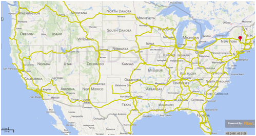
By following these steps, your view will zoom out to show the entire area of coverage. The following is an example of a long-haul fiber route:

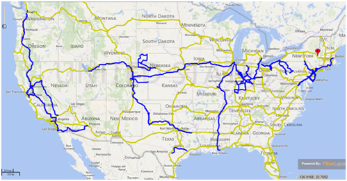
To compare different fiber lines, simply select more carriers from the “Layers” tab and turn on more colored fiber lines:

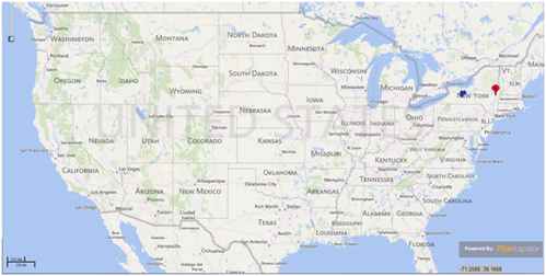
In this example of zooming in on metro fiber lines, if you turn on a fiber line, it will appear very small on the home screen map, this particular fiber line shows in New York.

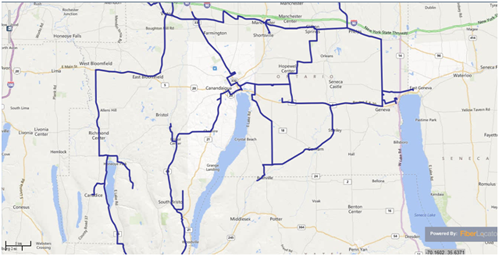
However, once you right-click and select “zoom to extent,” this will zoom in to show the specific area where the fiber is located, allowing you to see a more detailed view of the fiber route:

The zoom to extent tool brings a new efficiency factor in finding specific fiber lines and comparing multiple lines within one network.


